![]()
![]()
![]()
![]()
![]()
![]()
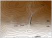 |
Topographic map, northern from Cherna gora village. The profile and the trench. |
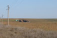 |
The flat relief of the site is formed over Pliocene and Quaternary deposits. |
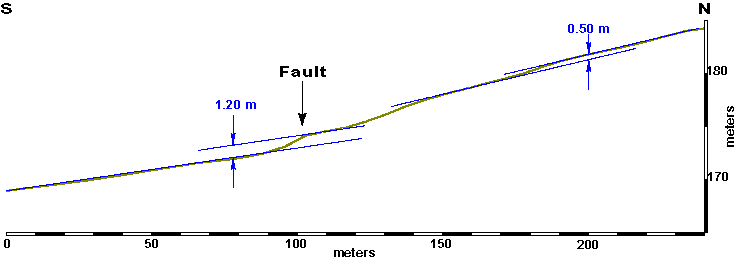 |
The offset of the main fault scarp is 34 times greater than 14 April 1928 displacement. |
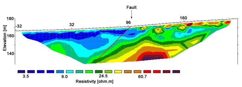 |
The main fault separates rocks of high electrical resistivity in the footwall from rocks of low electrical resistivity in the hanging wall. Some linearity, northern of main fault, can be interpreted as faults. |
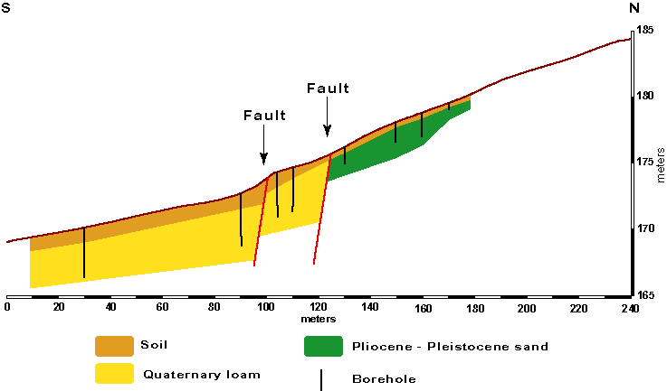 |
The main fault intersects Quaternary loam. The boundary between loam and alluvial sands, 30 m to the north, seems to be due to another fault. |
![]()
![]()
![]()